NC ZIP Code Map With Cities Counties
22,50 $ – 25,00 $Price range: 22,50 $ through 25,00 $
AI customizable styling, scalabilityPDF cross-platform compatibility
- Description
- Reviews (0)
Description
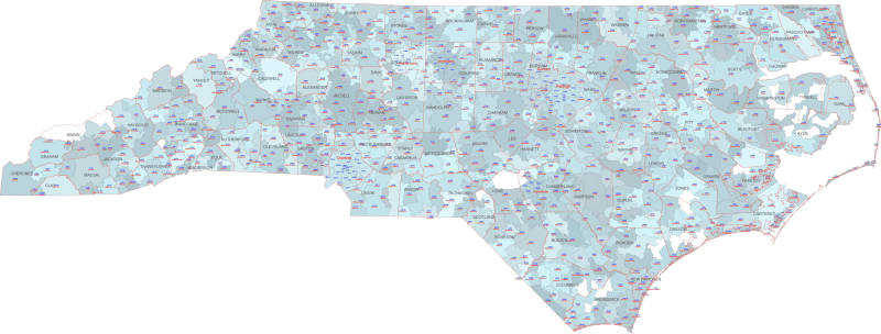
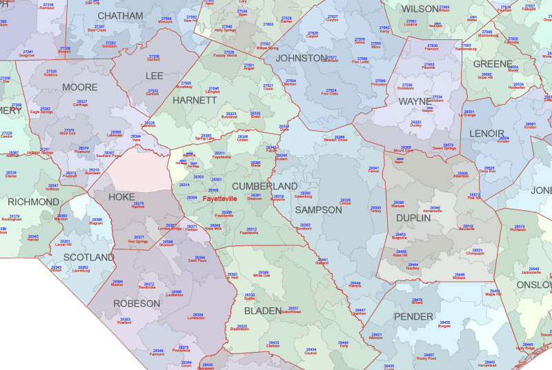
This comprehensive NC ZIP Code Map With Cities Counties of North Carolina adds county boundaries and names alongside the color-coded ZIP regions and Primary City labels.
The map is based on U.S. Census geographic data and includes only standard ZIPs with physical extents.
Editable files in AI and PDF formats make this ideal for planning, logistics, analysis, or detailed presentations.
Highlighted ZIP areas: Charlotte (28202–28277), Raleigh (27601), Greensboro (27401), Durham (27701), Wilmington (28401).
Key Features:
- Vector Format: Fully scalable without loss of quality, perfect for print and digital use.
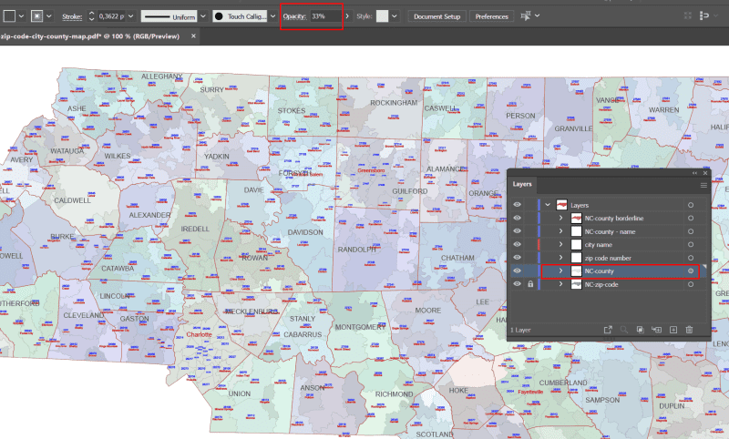
- Layered Structure: (Specifically for Layered PDF and Adobe Illustrator versions) Enables easy customization, selection of specific areas, and modification of colors and labels.
- Up-to-Date Data: Incorporates current information for accurate representation.
- Ready to Use: Professionally designed and ready for integration into your projects.
Unlock valuable geographic intelligence for North Carolina with our comprehensive zip code map collection. Choose the edition that best aligns with your analytical and visual communication objectives. Available in both Adobe Illustrator and Layered PDF formats for maximum compatibility.
Only logged in customers who have purchased this product may leave a review.

Reviews
There are no reviews yet.