MO ZIP Code Map With Cities Counties
0 out of 5
22,50 $ – 25,00 $Price range: 22,50 $ through 25,00 $
Category: Missouri ZIP Code Maps
Tags: Missouri, Mo, US ZIP Codes map
AI customizable styling, scalabilityPDF cross-platform compatibility
- Description
- Reviews (0)
Description
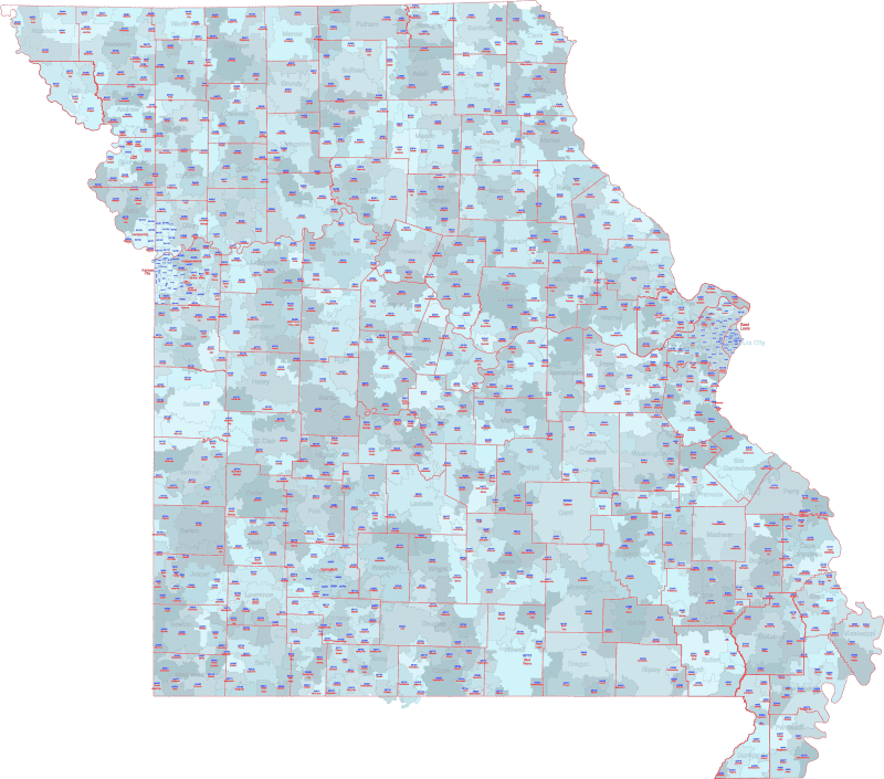
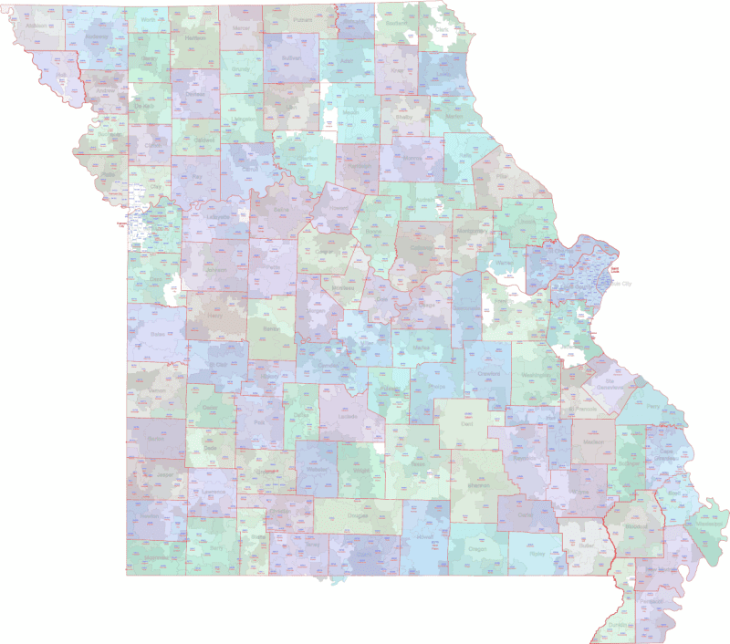
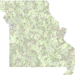
This comprehensive ZIP Code map of Missouri adds county boundaries and names alongside the color-coded ZIP regions and Primary City labels.
The MO ZIP Code Map With Cities Counties based on U.S. Census geographic data and includes only standard ZIPs with physical extents.
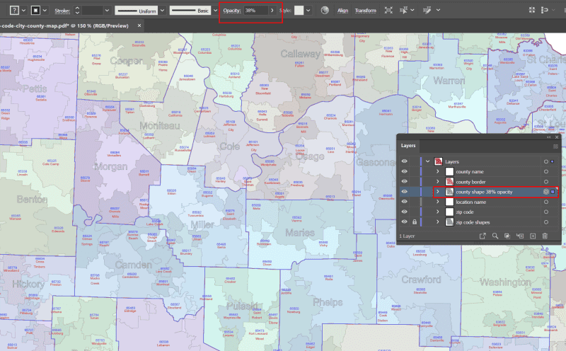
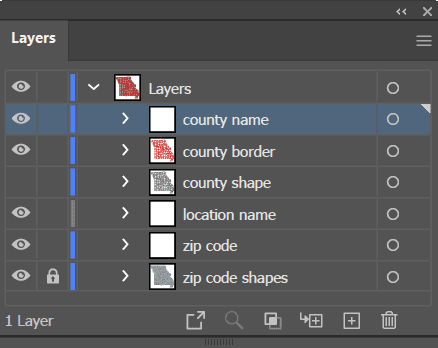
Editable files in AI and PDF formats make this ideal for planning, logistics, analysis, or detailed presentations.
Highlighted ZIP areas: Kansas City (64101–64157), St. Louis (63101–63139), Springfield (65802), Columbia (65201), Independence (64050).
Only logged in customers who have purchased this product may leave a review.
Related Products
Florida ZIP Code Maps
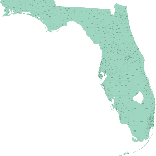
Florida ZIP Code Map Basic
0 out of 5
12,00 $ – 15,00 $Price range: 12,00 $ through 15,00 $
Delaware ZIP Code Maps
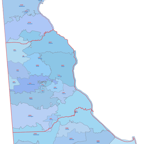
DE ZIP Code Map With Cities Counties
0 out of 5
17,50 $ – 20,00 $Price range: 17,50 $ through 20,00 $
Delaware ZIP Code Maps
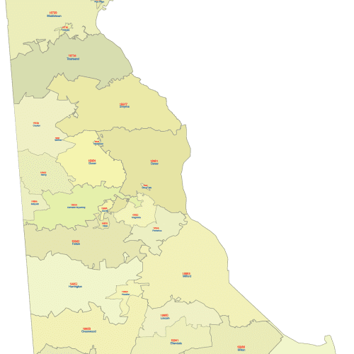
Delaware ZIP Code Map With Cities
0 out of 5
12,00 $ – 15,00 $Price range: 12,00 $ through 15,00 $
Connecticut ZIP Code Maps
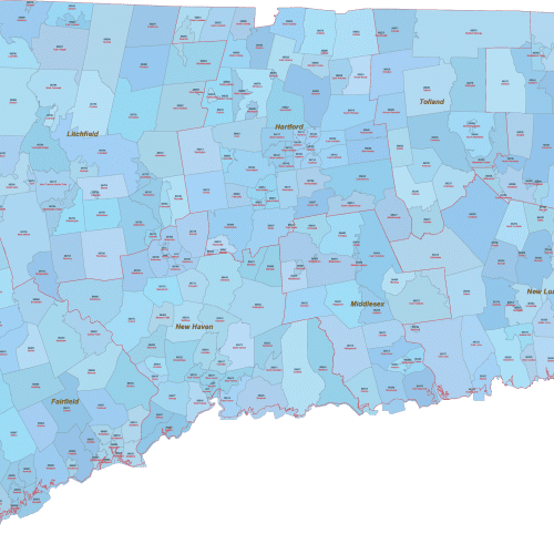
CT ZIP Code Map With Cities Counties
0 out of 5
22,50 $ – 25,00 $Price range: 22,50 $ through 25,00 $
Colorado ZIP Code Maps
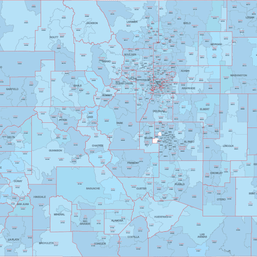
CO ZIP Code Map With Cities Counties
0 out of 5
22,50 $ – 25,00 $Price range: 22,50 $ through 25,00 $
Arizona ZIP Code Maps
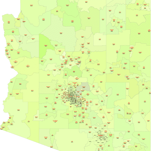
Arizona ZIP Code Map With Cities
0 out of 5
17,50 $ – 20,00 $Price range: 17,50 $ through 20,00 $

Reviews
There are no reviews yet.