Indiana ZIP Code Map With Cities
18,00 $ – 20,00 $Price range: 18,00 $ through 20,00 $
AI customizable styling, scalabilityPDF cross-platform compatibility
- Description
- Reviews (0)
Description
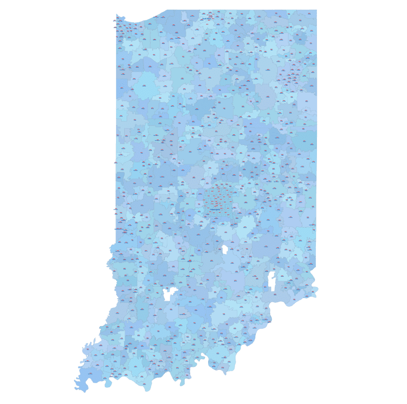
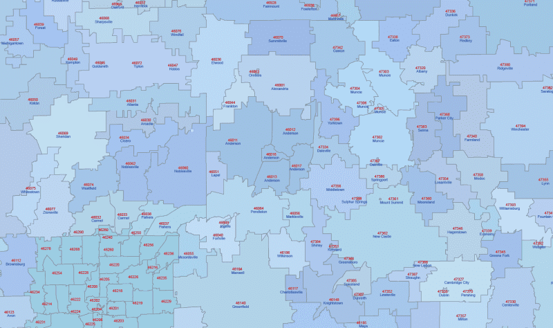
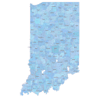
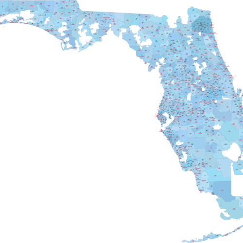
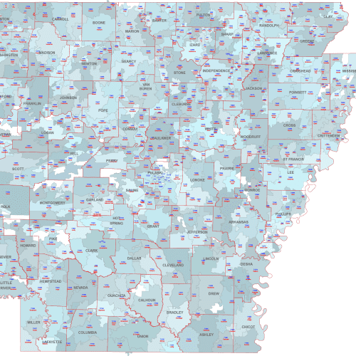
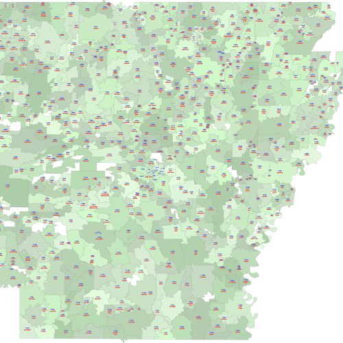
This colorful Indiana ZIP Code Map With Cities areas in distinct colors. Each ZIP includes its five-digit number and the Primary City name underneath.
Maps are based on U.S. Census geography and include only ZIP Codes with a physical footprint.
📌ZIPs used solely for PO Boxes or special uses are excluded.
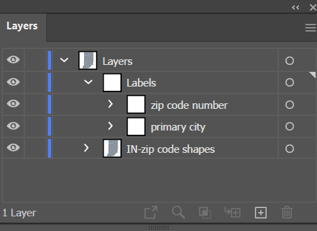
The layered files (AI and PDF) are perfect for identifying service zones, customer clusters, and city relationships.
ZIPs and cities featured include: Indianapolis (46201–46260), Fort Wayne (46802), Evansville (47708), South Bend (46601), Bloomington (47401).
💡-Standard Zip Codes: These are the most common type of zip codes and consist of five digits. They are used to efficiently deliver mail to a specific geographic location within the US.
Only logged in customers who have purchased this product may leave a review.

Reviews
There are no reviews yet.