AZ ZIP Code Map Cities and Counties
22,50 $ – 25,00 $Price range: 22,50 $ through 25,00 $
AI customizable styling, scalabilityPDF cross-platform compatibility
- Description
- Reviews (0)
Description
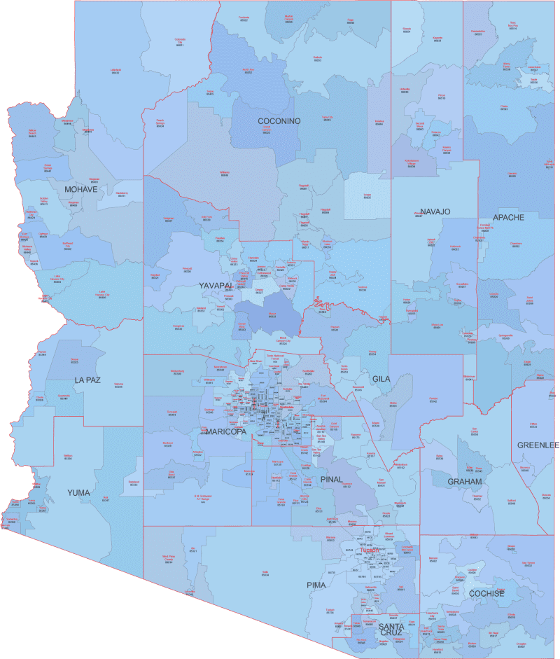
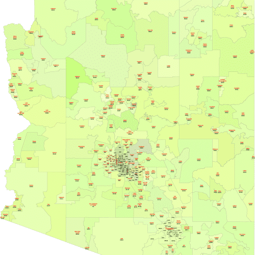
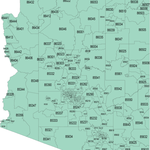
This comprehensive ZIP Code map of Arizona includes full-color ZIP boundaries, Primary City names, plus county lines and county names for complete geographic context. Each ZIP area is color-differentiated and labeled with its 5-digit code and associated city.
County borders are clearly marked, helping you understand how postal zones relate to administrative regions — ideal for sales planning, public service mapping, or educational use.
AZ ZIP Code Map Cities and Counties built using official U.S. Census boundaries, this map is provided in editable Adobe Illustrator and layered PDF formats. Easily highlight specific areas, adjust labels, or integrate your data. Includes all standard ZIP Codes from 85003 to 86555 covering major regions like Tuscon, Glendale, Maricopa or Prima County.
Only logged in customers who have purchased this product may leave a review.


Reviews
There are no reviews yet.