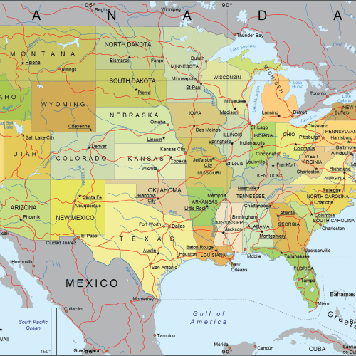
Internal US Map with Roads and Capitals
0 out of 5
17,90 $ – 19,90 $Price range: 17,90 $ through 19,90 $
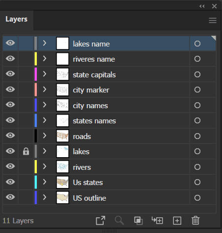
AI customizable styling, scalabilityPDF cross-platform compatibility
- Description
- Reviews (0)
Description
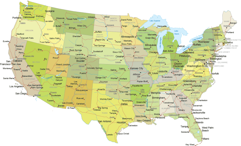
Internal US Map with Roads and Capitals – Albers equal-area conic projection
🗺️ Full US Coverage – Includes 49 states with clearly defined boundaries and distinctive colors for each state
🏙️ City Details – State capitals and major cities are precisely placed for easy identification
🌊 Hydrology – Includes the Great Lakes, major rivers, and coastal bays like the American Bay
- State Borders with Roads & Cities,
- Internal Detail, No Surroundings,
- Highways, Capitals & Major Rivers Only,
- Clean Cut Version (No Borders or Surroundings)
Keywords: Albers EA, The Pancake Map, Conic Classic, Albie, Equal Area Cone,The USA Favorite, Albers Cone
Only logged in customers who have purchased this product may leave a review.
Related Products
USA
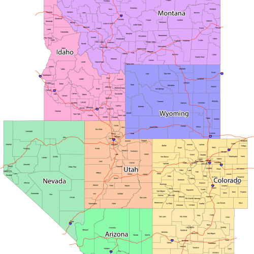
GeoPrime: Mountain Region County Map
0 out of 5
55,00 $ – 59,90 $Price range: 55,00 $ through 59,90 $
USA
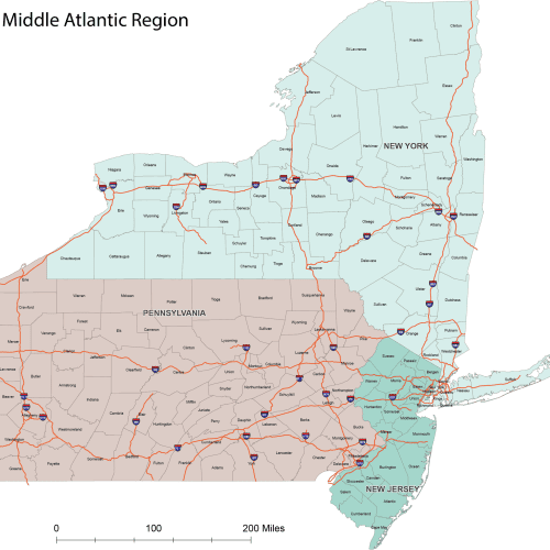
ProGrade Middle Atlantic County Map
0 out of 5
19,90 $ – 24,90 $Price range: 19,90 $ through 24,90 $

Reviews
There are no reviews yet.