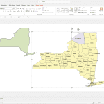
New York County and Communities Map
24,90 $ – 29,90 $Price range: 24,90 $ through 29,90 $
AI customizable styling, scalabilityPDF cross-platform compatibility
- Description
- Reviews (0)
Description
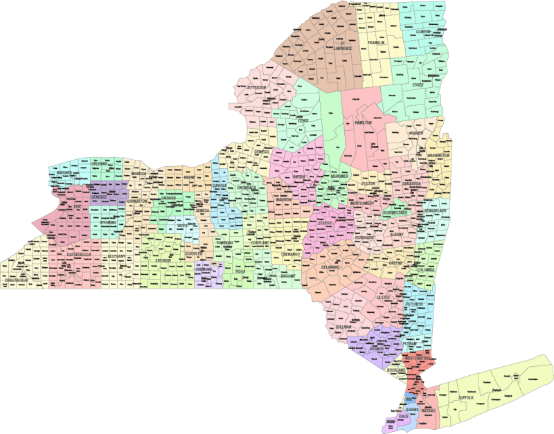
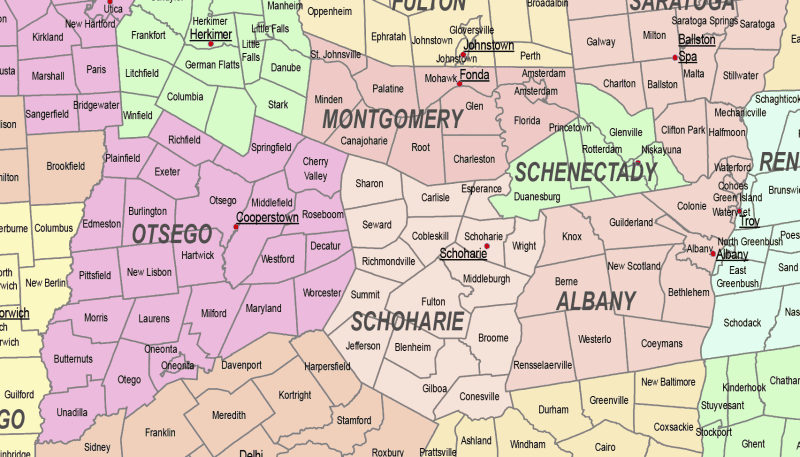
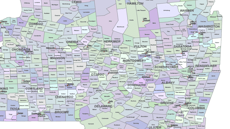
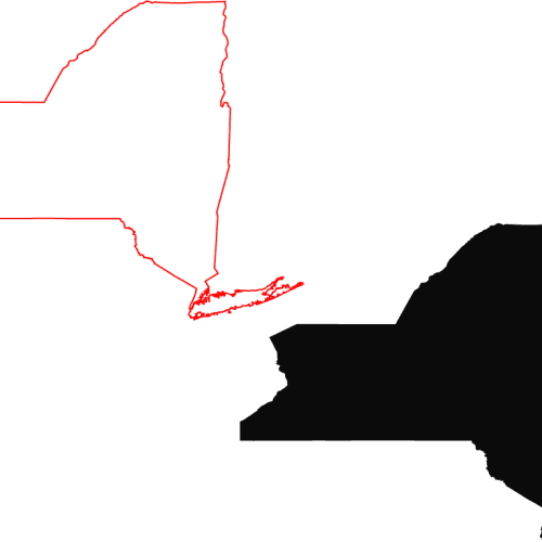
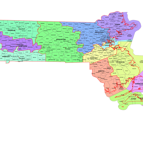
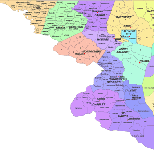
The New York State County and Communities Map showcases cities, districts, villages, boroughs, barrios, townships, and precincts in a detailed Adobe Illustrator artwork. It includes all counties and subcounties, with names clearly labeled for easy reference. County seats are featured on a separate layer, while distinct colors differentiate counties and their subdivisions.
Townships in New York state
New York City, Buffalo, Rochester, Yonkers, Syracuse, Albany, New Rochelle, Mount Vernon, Schenectady, Utica, White Plains, Hempstead, Troy, Niagara Falls, Binghamton, Freeport, Valley Stream, Long Beach, Rome, Ithaca, Poughkeepsie, Middletown, Kingston, Peekskill, Glens Falls, Newburgh, Geneva, Cortland, Lockport, Watertown
Only logged in customers who have purchased this product may leave a review.

Reviews
There are no reviews yet.