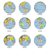
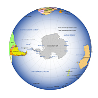
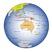
The globe maps show the Earth from different angles, sometimes you see North America, other times Africa, Europe or Asia. The North Pole or South Pole globe-map views are really extraordinary. These maps in the form of the globe can be stretched and painted; the signs can be modified easily. The A3 format Earth maps can be printed as well.
Globe maps are visual representations of the 3-dimensional world which, as Isaac Newton pointed out, is not a sphere, but an ellipsoid. In this projection, distances are only to scale if measured from the centre point of the view. Globe maps are also known as Earth-from-space views, orthographic projections or classic (perspective) azimuthal projections.
The black and white Earth maps can be used for educational purposes, where anyone can find and paint his own country, can identify the capitals or can fill in the names of the continents. Should the A3 format be too big for us, we can resize the sketches easily without loosing on quality. Adobe Illustrator (10), PDF and JPG formats are the most reasonably priced multi-layered vector-graphic pictures..
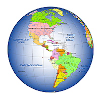
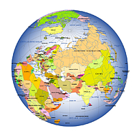
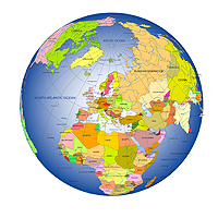
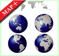
The Globe map represents a hemisphere of the globe as it appears from outer space, where the horizon is a great circle. The projection is specified by the latitude and longitude of the center point. If the origin is non-Equatorial or non-polar it is called an oblique projection. Only the center is free from distortion, which increases rapidly as you move away from the center. Our digital maps depict Earth in orthographic projections, centered on the continents Africa, Asia, America and Europe. Globe maps shows simple international country boundaries, rivers, major lakes, country names, country capitals, ocean and sea names. The longitude and latitude interval is 30°. The MAP+ page offers a range of non-cartographic vector graphics. Africa-centered, America-centered, North America-centered etc.